
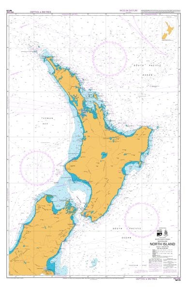
LINZ Maritime Charts
TuffPlans® print the full range of Maritime Charts from LINZ printed either on waterproof Tyvek® or 100gsm Plain Paper using a high resolution wide format colour printer.
Our Tyvek® Maritime Charts are completely waterproof, they’re unaffected by any type of water or solvent, both the Tyvek® media and the printed image are almost indestructible.
Waterproof LINZ Maritime Charts are printed from high-resolution data files provided by and under arrangement from Land Information New Zealand. They are true to scale.
Charts are supplied either folded or rolled.
A complete Catalogue of available LINZ Maritime Charts in PDF format can be downloaded HERE.
Scale
LINZ Maritime Charts are 1:100,000 Scale. TuffPlans® LINZ Full Size Maritime Charts are tested to be true-to-scale, users can be assured that plotting distances on TuffPlans® charts will be accurate.
Full size TuffPlans® LINZ Maritime Charts are 720mm x 1100mm when flat.
For Shipping Prices CLICK HERE